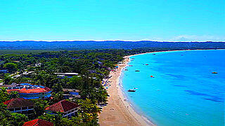
San Francisco, California, US – Aerial View
San Francisco, officially the City and County of San Francisco, is a cultural, commercial, and financial center in the U.S. state of California.
Located in Northern California, San Francisco is the 17th most populous city in the United States, and the fourth most populous in California.
It covers an area of about 46.9 square miles (121 square kilometers), mostly at the north end of the San Francisco Peninsula in the San Francisco Bay Area, making it the second most densely populated large U.S. city, and the fifth most densely populated U.S. county, behind only four of the five New York City boroughs.
Colloquial nicknames for San Francisco include SF, San Fran, The City, and Frisco.
San Francisco is known for its cool summers, fog, steep rolling hills, eclectic mix of architecture, and landmarks, including the Golden Gate Bridge, cable cars, the former Alcatraz Federal Penitentiary, Fisherman’s Wharf, and its Chinatown district.
San Francisco is also the headquarters of companies such as Wells Fargo, Twitter, Block, Airbnb, Levi Strauss & Co., Gap Inc., Salesforce, Dropbox, Pacific Gas and Electric Company, Uber, and Lyft.
The city, and the surrounding Bay Area, is a global center of the sciences and arts and is home to a number of educational and cultural institutions, such as the University of California, San Francisco (UCSF), the University of San Francisco (USF), San Francisco State University (SFSU), the de Young Museum, the San Francisco Museum of Modern Art, the SFJAZZ Center, the San Francisco Symphony and the California Academy of Sciences.
Video Source: Scenic Drone Footage of San Francisco, CA | [4K QUALITY] from Neil Narain on Youtube ⁄ CC BY


