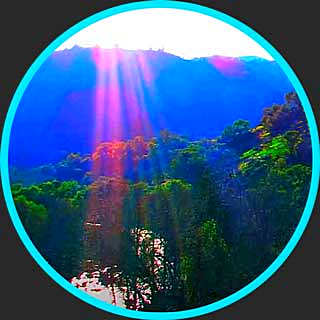
Camping & Hiking – Kodachrome Basin State Park, Utah, US
Kodachrome Basin is a state park of Utah, United States. It is situated 5,800 feet (1,767.8 m) above sea level, 12 miles (19 km) south of Utah Route 12, and 20 miles (32 km) southeast of Bryce Canyon National Park.
It is accessible from the north from Cannonville by a paved road and from the south by Road 400, a dirt road from the Page, Arizona area to Cannonville, passable for most vehicles in dry conditions. A longer but paved route to Tropic from the south is also available via US-89 and SR-12.
Evidence near the park suggests that Native Americans were the first to wander through the area. Around the turn of the 20th century, cattlemen from Cannonville and Henrieville used the basin as a winter pasture.
In 1948 the National Geographic Society explored and photographed the area for a story that appeared in the September 1949 issue of National Geographic. They named the area Kodachrome Flat, after the brand of Kodak film known for its vibrant color rendition.
In 1962 the area was designated a state park. Fearing repercussions from the Kodak film company for using the name Kodachrome, the name was changed to Chimney Rock State Park, but renamed Kodachrome Basin a few years later with Kodak’s permission.
Kodachrome Basin State Park was a good camping spot and its very close to Bryce Canyon National Park.
Video Source: KODACHROME BASIN STATE PARK UTAH CAMPING AND HIKING WITH DOGS from Elisa Explores on Youtube ⁄ CC BY